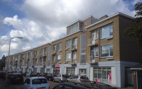
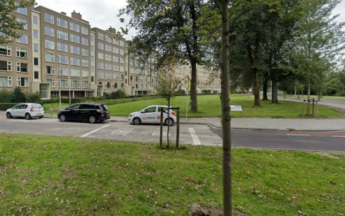
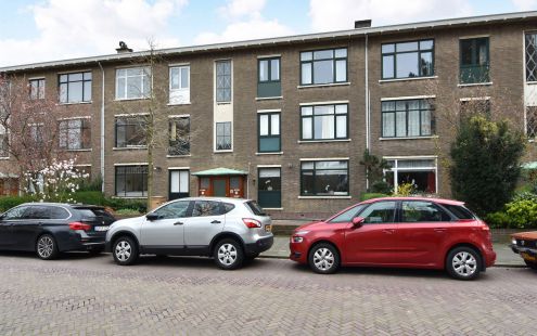
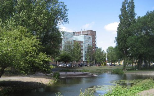
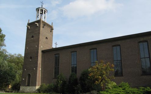
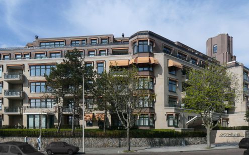
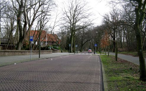
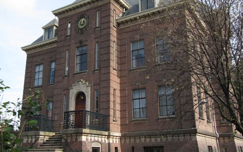
This area is known as the Bomen- en Bloemenbuurt. At this point, it divides into two parts. On one side, you see a residenti…
Read moreOverview for Walking route
Prior to the Second World War, this was a residential area, built in the early 20 th century to house members of the …
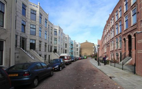
Read moreThis street is part of the Duinoord neighbourhood, developed in the late 19 th century on the initiative of banker …
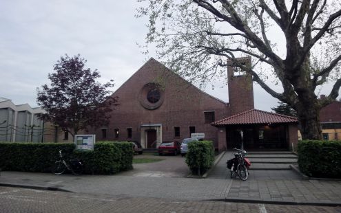
Read moreThe present site of the Maranathakerk was inside the wartime no-go area. By the time The Hague was liberated, the houses …
Read moreDuring World War II, a wide anti-tank ditch was constructed here as part of the Atlantic Wall. Before that, Lübeckstraat was …
Read moreThe Second World War produced changes in the street plan of this part of the city. Before the war, the present President …
Read moreThe original Kerk van de Heilige Martelaren van Gorcum (Martyrs of Gorkum Church) was designed by architect Nicolaas …
Read moreThis spot is at the edge of the pre-war Zorgvliet villa area. The opening of architect H.P. Berlage’s new Gemeentemuseum in …
Read moreIn the mid-17th century, Dutch poet and statesman Jacob Cats had a country house built for himself on land in the …
Read moreThis spot is on the dividing line between the part of the Zorgvliet development that was demolished and a section that …
Read more Herinneringsroute Atlantikwall Den Haag
